Porcupine Ridge/Tranquille Bonaparte Plateau
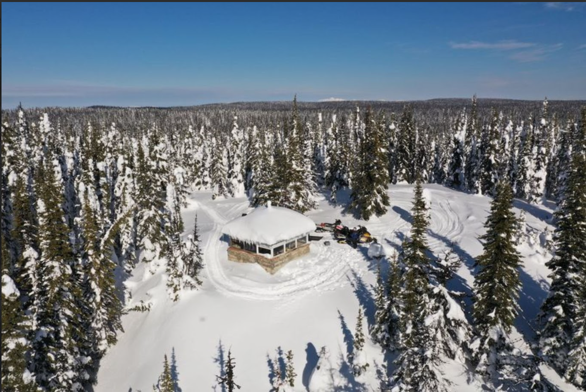
Welcome to the heart of KSA’s main riding area, a fantastic destination for outdoor enthusiasts. This area is equipped with 9 cozy warm-up shelters and a network of beautifully groomed trail loops, offering a perfect balance of adventure and relaxation. There are also groomed access trails that lead into thousands of hectares of stunning subalpine terrain, ideal for off-trail boondocking and exploring low-slope areas. With its very low to zero avalanche risk, it’s a safe haven for families, making it perfect for all ages. The terrain sits at an average elevation between 4,500 and 6,000 feet, and features serene meadow complexes, offering plenty of opportunities to escape the crowds and enjoy the peaceful wilderness. The Porcupine Meadows Provincial Park is also accessible from here, offering even more to explore.
Getting to this beautiful area is easy. You can access it from parking lots 1 and 2, located at the 21 and 22 km marks along the Sawmill Lake Forest Service Road (FSR). The road is well-maintained, and larger trailers will have no trouble getting through. From Kamloops, simply head out from the end of Batchelor Heights Drive, continue straight on Lac Du Bois Road until you reach the 19 km mark, then follow the Sawmill Lake FSR (which is the continuation of Lac Du Bois Road) to the trailhead at the 21 km mark.

Download the Porcupine Ridge Map
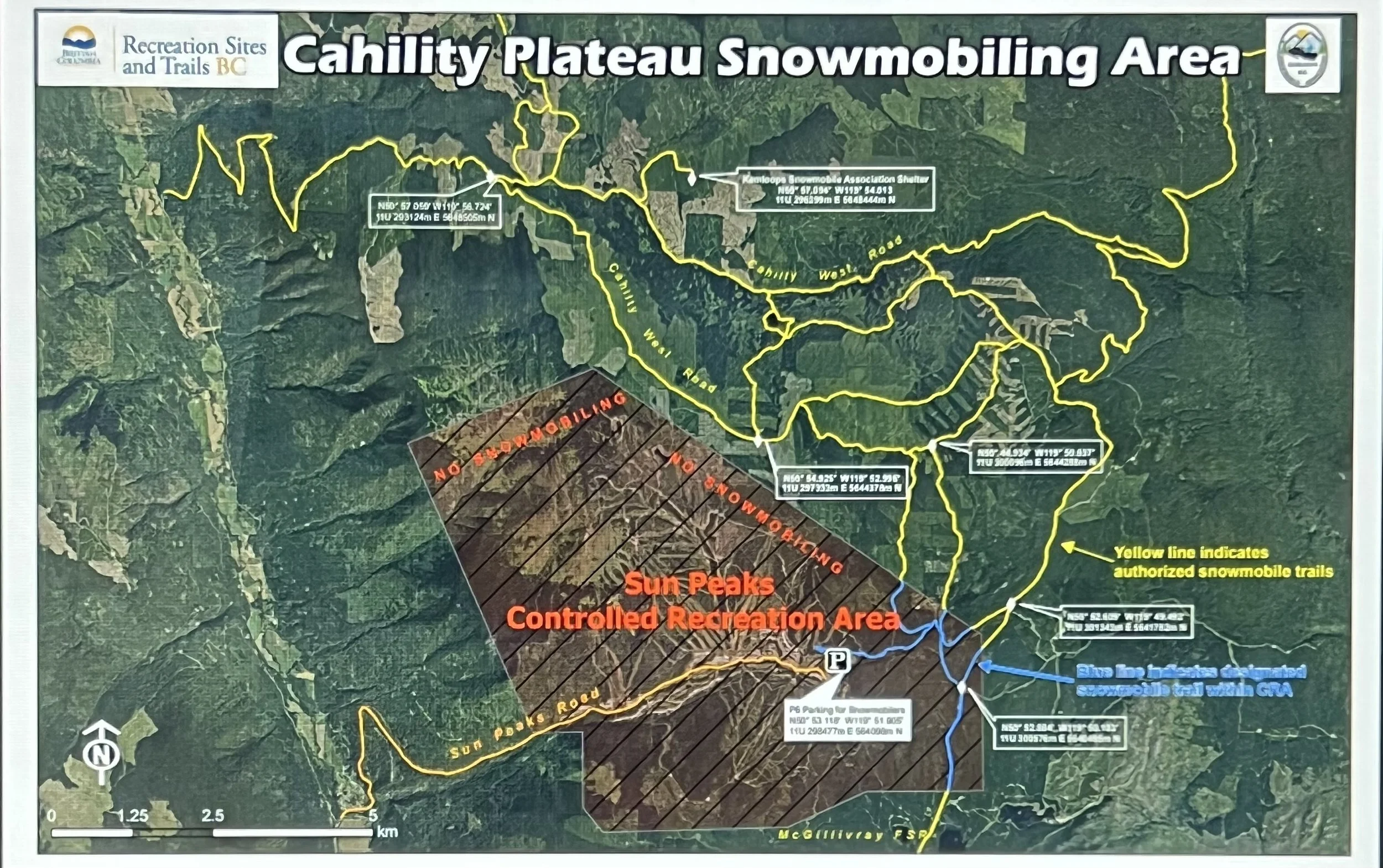
Download the Sunpeaks Riding Area Map